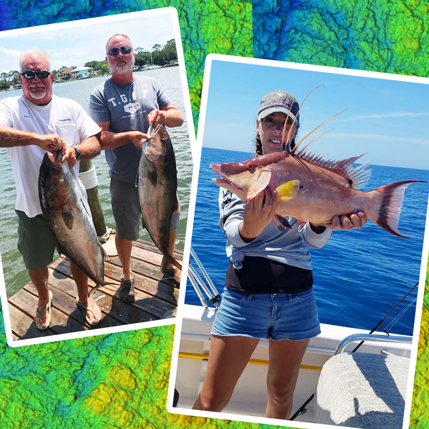
If you’re serious about bottom fishing, you know that finding the right spots can be the key to success. Traditional fishing methods can be hit or miss when it comes to locating productive areas, but StrikeLines charts offer a serious advantage. By providing high-resolution, detailed 3D maps of the seafloor, StrikeLines makes bottom fishing more efficient, effective, and, ultimately, more enjoyable.
How StrikeLines Makes Bottom Fishing Easier
One of the biggest challenges in bottom fishing is identifying the exact underwater features that attract fish, such as wrecks, reefs, drop-offs, and ledges. StrikeLines charts take the guesswork out of this process, providing anglers with a visual roadmap of the seafloor. Here’s how they make bottom fishing a breeze:
1. Precise Mapping of Key Bottom Features
StrikeLines charts provide detailed 3D topographical maps of the seafloor, highlighting features like submerged wrecks, artificial reefs, ledges, and drop-offs—prime spots for bottom fish like snapper, grouper, and amberjack. These features are critical for attracting fish, as they provide shelter, food, and ideal conditions for a variety of species. By knowing exactly where these features are located, you can target productive spots quickly and confidently. Whether you’re fishing in shallow waters or heading deep offshore, StrikeLines ensures you know where the action is.

2. Detailed Wreck and Reef Locations
For bottom fishing enthusiasts, wrecks and reefs are often the go-to locations for reeling in big catches. StrikeLines charts provide detailed information on wrecks, some of which are often unmarked on traditional maps. This gives you access to hidden gems that other anglers might not know about. The accuracy of the wreck and reef locations on StrikeLines charts allows you to position your boat for the best fishing opportunities, minimizing time spent searching for spots and maximizing time spent fishing.
3. Enhanced Fishing with Waypoints and GPS Integration
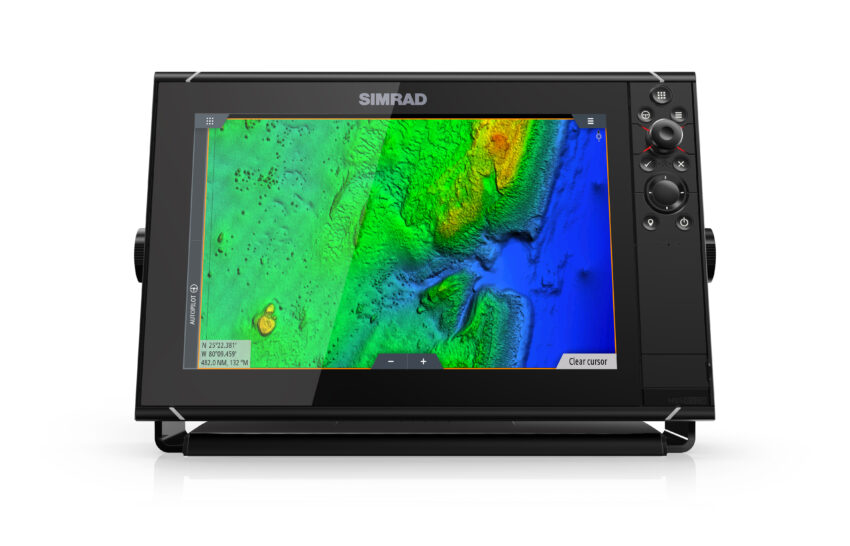
StrikeLines charts integrate seamlessly with popular GPS systems from brands like Simrad, Lowrance, and Garmin, making it easy to save and navigate to your favorite bottom fishing spots. The charts come pre-loaded with waypoints, which are precise locations marked for specific underwater features. You can simply input these waypoints into your GPS and head straight to the spot, saving you valuable time. Plus, you can add your own waypoints as you discover new hot spots.
4. Better Catch Rates with 3D Seafloor Mapping
The 3D seafloor mapping provided by StrikeLines is particularly useful for anglers targeting bottom dwellers. Traditional 2D charts often fail to capture the complexity of underwater structures, but the 3D format gives you a much clearer view of how the bottom changes. Whether it’s a sudden drop-off, an underwater plateau, or a reef system, StrikeLines charts give you the details you need to target fish more effectively. This can significantly improve your chances of a successful outing, especially when targeting species that are known to be picky about their habitats.
How to Maximize Your Bottom Fishing with StrikeLines
To get the most out of StrikeLines charts, here are some tips for maximizing your bottom fishing success:
• Plan Your Route Before Heading Out: Before you leave the dock, take the time to study your StrikeLines charts and identify key fishing locations. By plotting your course and marking key waypoints, you can head straight to the areas with the most promise.
• Pay Attention to Water Depth: Different species of fish prefer different depths. StrikeLines allows you to zoom in on specific depth zones, so you can adjust your fishing technique and bait choice based on the depth at which fish are likely to be found.
• Take Advantage of the Real-Time Data: As conditions change on the water, you can use StrikeLines charts in conjunction with your GPS to move to new hotspots. If fish aren’t biting in one area, the ability to switch to another productive spot, all while staying on course, is a huge advantage.
• Keep Updating Your Waypoints: As you fish and discover new hotspots, be sure to add new waypoints to your GPS or StrikeLines app. By continually updating your map, you’ll build a personalized database of fishing spots that you can return to on future trips.
Compatible Devices and Easy Access
StrikeLines charts are designed to be user-friendly and are compatible with a variety of GPS and chart plotter systems. Whether you’re using a Simrad, Lowrance, Garmin, or Raymarine device, StrikeLines integrates smoothly into your existing equipment, so you don’t need to worry about learning new technology. The ability to upload charts directly to your GPS system ensures that you have all the data you need at your fingertips.
For Garmin users, the StrikeLines Box is a perfect addition, allowing you to integrate their 3D charts directly into your Garmin device for an enhanced experience. The StrikeLines Box makes it even easier to navigate and locate the most productive fishing spots.
Get Your StrikeLines Chart Today
Bottom fishing has never been easier with StrikeLines charts. Whether you’re targeting wrecks, reefs, or drop-offs, these charts provide the precision you need to catch more fish. With detailed mapping, GPS integration, and compatibility with leading chart plotter systems, StrikeLines charts are an essential tool for any serious angler.
Ready to boost your bottom fishing game? Visit StrikeLines.com and check out their charts today. With StrikeLines, your next big catch could be just a waypoint away!
Don’t forget—your next successful fishing trip is just one click away. Purchase your StrikeLines chart and start fishing smarter today!

